Analysis of the Quality Clean Water Sources through Geographic Information System Mapping and Geoelectric Methods in Flood-Prone Areas

Downloads
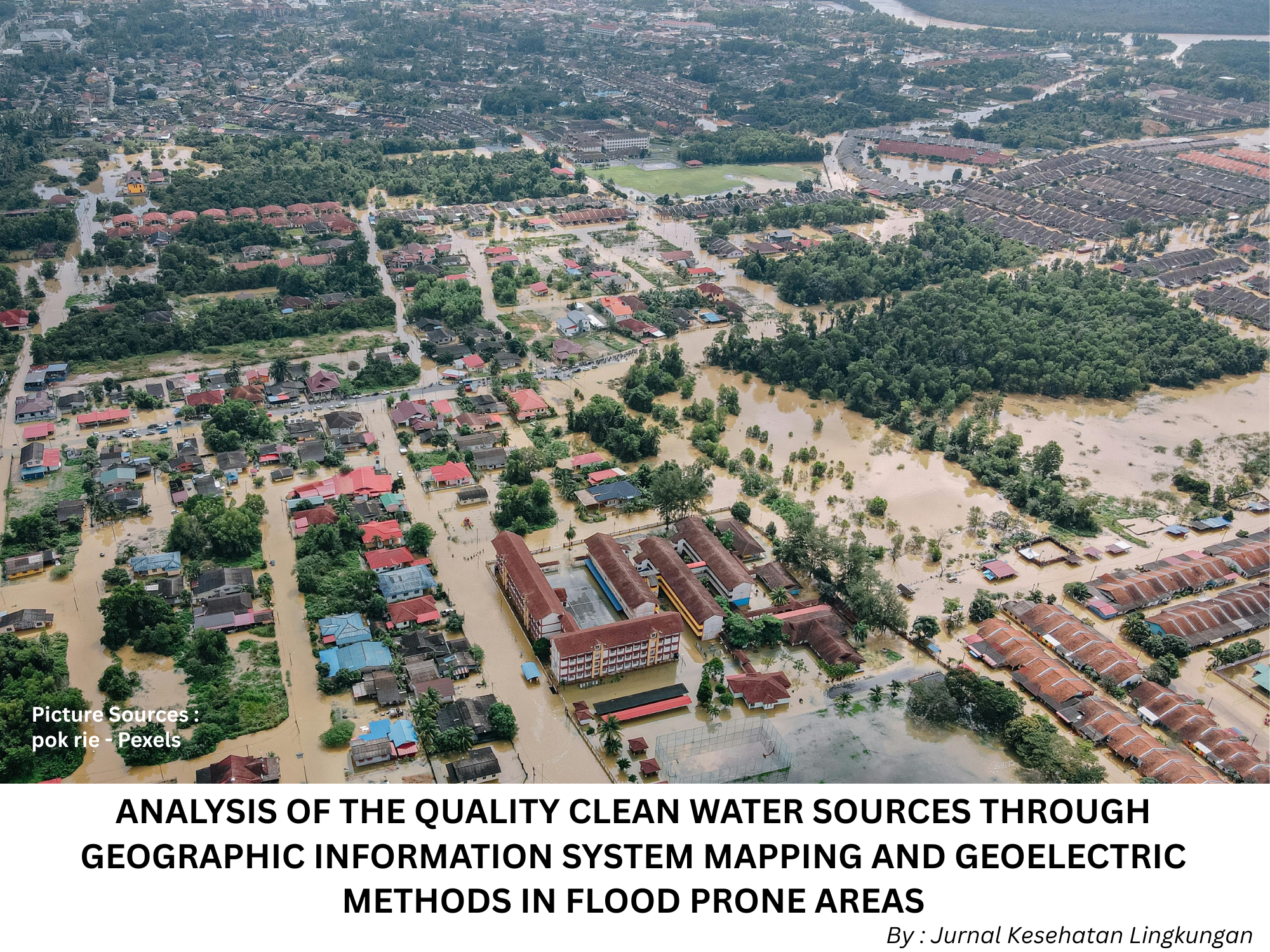
Introduction: Astambul Subdistrict in Banjar Regency is classified as a flood-prone area. Such regions tend to experience a decline in clean water quality. In Astambul, no mapping has been conducted regarding clean water quality based on water management and land conditions to improve clean water quality in flood-prone areas. This study aims to analyze the availability of clean water sources in flood-prone areas using geoelectrical methods and Geographic Information Systems (GIS). Methods: This study used a quantitative research design with a cross-sectional method to analyze clean water sources using geoelectric and Geographic Information System (GIS) methods. This study was conducted in five villages in Banjar Regency, South Kalimantan Province. Testing using the geoelectrical method was conducted at five locations in five villages, while the GIS method was used at 30 locations across the five villages. Results and Discussion: The geoelectric method showed that 4 villages had turbid water quality, and 1 village had very turbid water. The GIS (Geographic Information System) method indicated that the parameters for turbidity, iron (Fe), manganese (Mn), and coliforms did not meet the standards. The average values of Dissolved Oxygen (DO), Total Dissolved Solids (TDS), Total Suspended Solids (TSS), and turbidity are 8.03 mg/L, 179.27 mg/L, 0.22 mg/L, and 17.23 NTU, respectively. The average values for pH, iron (Fe), and manganese (Mn) are 6.44, 0.68 mg/L, and 21.02 mg/L, respectively. Conclusion: Based on Geoelectric and Geographic Information System analysis, the Astambul District area has clean water sources that are still below quality standards.
Omotayo AO, Kehinde, Olagunju O, Omotoso AB, Adebayo, Ogunniyi I, et al. Clean Water, Sanitation and Under-five Children Diarrhea Incidence: Empirical Evidence from the South Africa’s General Household Survey. Environ Sci Pollut Res. 2021;28(44):63-150. https://doi.org/10.1007/s11356-021-15182-w
Jomova K, Alomar SY, Nepovimova E, Kuca K, Valko M. Heavy Metals: Toxicity and Human Health Effects.Springer Berlin Heidelberg. 2025;99(03903):153–209. https://doi.org/10.1007/s00204-024-03903-2
Qiu W, Ye J, Su Y, Zhang X, Pang X, Liao J, et al. Co-exposure to Environmentally Relevant Concentrations of Cadmium and Polystyrene Nanoplastics Induced Oxidative Stress, Ferroptosis and Excessive Mitophagy in Mice Kidney. Environ Pollut. 2023;333(121947):1-11. https://doi.org/10.1016/j.envpol.2023.121947
Queiroz MIC, Sales MVS, Barros E SS, D’ Amato FOS, Gonçalves CM, Ursulino JS, et al. Exposure to a Contaminated Environment and Its Relationship with Human Health: Mercury Effect on Loss of Functionality and Increased Oxidative Stress Of Blood Cells. J Hazard Mater. 2025;492(897):1-11. https://doi.org/10.1016/j.jhazmat.2025.138088
Kementerian Kesehatan Indonesia. Survei Kesehatan Indonesia (SKI). 2023. 1–965. https://www.badankebijakan.kemkes.go.id/hasil-ski-2023/
Dwi Larasati R, Nur R, Syam S, Tadulako U. Analysis of Forecasting Cases of Diarrhea in the Region Prone to Flooding in Donggala Regency. Jambura J Heal Sci Res. 2025;7(2):287–294. https://doi.org/10.35971/jjhsr.v7i2.27735
Ananda D, Siregar NA, Syahadah RF, Mahendra AFR, Laoli AN, Siregar PA. Gambaran Sanitasi Dasar dengan Kejadian Diare di Kawasan Risiko Banjir. J Educ Innov Public Heal. 2023;1(3):24–31. https://doi.org/10.55606/innovation.v1i3.1466
Birhan TA, Bitew BD, Dagne H, Amare DE, Azanaw J, Genet M, et al. Prevalence of Diarrheal Disease and Associated Factors Among Under-Five Children in Flood-Prone Settlements of Northwest Ethiopia: A Cross-Sectional Community-Based Study. Front Pediatr. 2023;11(1):1–7. https://doi.org/10.3389/fped.2023.1056129
Dinkes Kab Banjar. Data profil dinas Kesehatan Kabupaten Banjar 2022. 2022. 1–28. https://home.banjarkab.go.id/category/dinkes/
Dinkes Kab Banjar. Data Puskesmas Bidang Tahun 2023. 2023. 1–32. https://home.banjarkab.go.id/category/dinkes/
DLH. Data Hasil Pemeriksaan Kualitas Air Sungai Kabupaten Banjar. 2020. 1–10. https://ppkl.menlhk.go.id/onlimo-2022/
BPS Kab Banjar. Jumlah Desa/Kelurahan yang Mengalami Bencana Alam Menurut Kecamatan di Kabupaten Banjar, 2024. 2025. https://banjarkab.bps.go.id/id/statistics-table/3/
Pemerintah Kabupaten Banjar. Gambaran Umum Wilayah Kabupaten Banjar. 2025. https://home.banjarkab.go.id/profil-2/gambaran-umum-wilayah-kab-banjar/
PUPRP Kab Banjar. Laporan Dinas Pekerjaan Umum dan Penataan Ruang 2021. 2021. 1–12. https://puprp.banjarkab.go.id/
Kroeker KJ, Donham EM, Vylet K, Warren JK, Cheresh J, Fiechter J, et al. Exposure to Extremes in Multiple Global Change Drivers : Characterizing pH , Dissolved Oxygen , and Temperature Variability in a Dynamic , Upwelling Dominated Ecosystem. Limnol Oceanogr. 2023;68(12371):1611–1623. https://doi.org/10.1002/lno.12371
Rajesh M, Rehana S. Impact of Climate Change on River Water Temperature and Dissolved Oxygen : Indian Rverine Thermal Regimes. Sci Rep. 2022;12(9222):1–12. https://doi.org/10.1038/s41598-022-12996-7
Putra AY, Sari Y, Maisarmah S. Uji Kualitas Air Tanah dari Kadar TDS , ION SO 42- dan NO 3-. J Res Educ Chem. 2019;1(2):23–29. https://doi.org/10.25299/jrec.2019.vol1(2).3498
Pratiwi I, Setiorini IA. Penurunan Nilai pH, COD, TDS, TSS pada Air Sungai Menggunakan Limbah Kulit Jagung Melalui Adsorben. J Redoks. 2023;8(1):55–62. https://doi.org/10.31851/redoks.v8i1.10830
Driscoll JHO, Siggins A, Healy MG, Mcginley J, Mellander P, Morrison L, et al. Science of the Total Environment A Risk Ranking of Pesticides in Irish Drinking Water Considering Chronic Health Effects. Sci Total Environ. 2022;829(154532):1–11. https://doi.org/10.1016/j.scitotenv.2022.154532
Salazar-flores J, Lomel SM, Ceja-g HR, Torres-jasso JH, Torres-reyes LA, Torres-s ED. Impacts of Pesticides on Oral Cavity Health and Ecosystems : A Review. Int J Environ Res Public Health. 2022;19(11257):1–20. https://doi.org/10.3390/ijerph191811257
Novianti YS, Reza M, Fatmawati E, Ramanda R. Uji Free Draining Column Leach Menggunakan Variasi Persentasi Material PAF dan NAF : Studi Kasus Overburden Tambang Batubara. J GEOSAPTA. 2021;7(1):43–46. https://doi.org/10.20527/jg.v7i1.10115
Hoang TC, Brausch JM, Cichra MF, Phlips EJ, Genderen E Van, Rand GM. Effects of Zinc in an Outdoor Freshwater Microcosm System. Env Toxicol Chem. 2021;40(7):2053–2072. https://doi.org/10.1002/etc.5050
Balasubramanian S V, Pahlevan N, Smith B, Binding C, Schalles J, Loisel H, et al. Remote Sensing of Environment Robust Algorithm for Estimating Total Suspended Solids (TSS) in Inland and Nearshore Coastal Waters. Remote Sens Environ. 2020;246(111768):1–18. https://doi.org/10.1016/j.rse.2020.111768
Alvado B, Xavier S, Vicente E, Urrego P, Ru A, Soria JM, et al. Estimating Organic and Inorganic Part of Suspended Solids from Sentinel 2 in Different Inland Waters. J Water. 2021;13(2453):1–22. https://doi.org/10.3390/w13182453
Teramoto T, Wasielesky W, Krummenauer D. Aquacultural Engineering Appling Machine Learning for Estimating Total Suspended Solids in BFT Aquaculture System. Aquac Eng. 2024;106(102439):1–7. https://doi.org/10.1016/j.aquaeng.2024.102439
Nenny. Karakteristik Sedimen dan Pola Transportasi di Sungai Berdasarkan Variasi Debit Aliran. J Innov Res Knowl. 2024;4(1):53–70. https://mail.bajangjournal.com/index.php/JIRK/article/view/7803
Wo LC, Kong H, Lu Y, Chen J, Xu Q, Han Z, et al. Science of the Total Environment Spatiotemporal Variations of River Water Turbidity in Responding to Rainstorm-stream Flow Processes and Farming Activities in A Mountainous. Sci Total Environ J. 2023;863(160759):1–11. https://doi.org/10.1016/j.scitotenv.2022.160759
Yolanda Y. Analisa Pengaruh Suhu, Salinitas dan pH Terhadap Kualitas Air di Muara Perairan Belawan. J Teknol Lingkung. 2023;11(2):329–337. https://doi.org/10.26418/jtllb.v11i2.64874
Sari S, Adnan, Nurfadilah. Analysis of Water Quality Relationship to Phytoplankton Community Structure in Manggar Waters of Balikpapan City, East Kalimantan Province. J Laot Ilmu Kelaut. 2025;7(1):24–36. https://doi.org/10.35308/jlik.v7i1.10866
Wang H, Codiga DL, Stoffel H, Oviatt C, Huizenga K, Grear J. Effect of Nutrien Reductions on Dissolved Oxygen and pH: A Case Study of Narragansett Bay. EPA Public Access. 2025;11(1374873):1–26. https://doi.org/10.3389/fmars.2024.1374873
Gezginci-oktayoglu S, Sezer N, Demiralp S, Dupont S. Physiological and Gene Expression Responses of the Mussel Mytilus Galloprovincialis to Low pH and Low Dissolved Oxygen. Mar Pollut Bull. 2023;187(114602):1–11. https://doi.org/10.1016/j.marpolbul.2023.114602
Ahmad R, Concetta B, Cristina S, Francesco C, Maria F, Guerrera C. Effects of Heavy Pollution in Different Water Bodies on Male Rainbow Trout (Oncorhynchus mykiss) Reproductive Health. Environ Sci Pollut Res. 2023;30(3670):23467–23479. https://doi.org/10.1007/s11356-022-23670-w
Pebrianti, Saparina T, Saranani S. Analisis Kadar COD , BOD , Tembaga dan Zat Besi (Fe) Limbah PLTU di Laut Jetty Kawasan Industri Konawe Kabupaten Konawe Sulawesi Tenggara Analysis of COD , BOD , Copper and Iron ( Fe ) levels of PLTU Waste in the Jetty Sea in the Konawe Industrial Estat. J Pharm Mandala Waluya. 2023;2(5):264–275. https://doi.org/10.54883/jpmw.v2i5.39
Rukisah, Sukardi, Lembang MS, Hutapea TPH. Analisis Parameter Kualitas Tanah Terhadap Produksi Udang Windu di Pulau Mangkudulis, Tana Tidung. J Sumberd Akuatik Indopasifik. 2025;9(1):1–14. https://doi.org/10.46252/jsai-fpik-unipa.2025.Vol.9.No.1.443
Rahayu MM, Budiman J, Andriani T, Notodarmojo S. Analysis of Behavior Changes of Dissolved Iron in Leachate as An Influence of Plastic Waste. J Sci Res Dev. 2025;7(1):224–242. https://doi.org/10.56670/jsrd.v7i1.911
Awliahasanah R, Sari DN, Azrinindita ED, Ghassani D, Yanti D, Maulidia NS, et al. Analisis Risiko Kesehatan Lingkungan Kandungan Mangan pada Air Sumur Warga Kota Depok. J Sanitasi Lingkung. 2021;1(2):80–86.https://doi.org/10.36086/salink.v1i2.1051
Pendergraph DP, Ranieri J, Ermatinger L, Baumann A, Metcalf AL, Deluca TH, et al. Differentiating Sources of Fecal Contamination to Wilderness Waters Using Droplet Digital PCR and Fecal Indicator Bacteria Methods. Wilderness Enviromrntal Med. 2021;32(3):332–339. https://doi.org/10.1016/j.wem.2021.04.007
Rosdiana D, Hastiaty IA, Hartomy E, Kango I, Tiurmaida P, Pradapaningrum PG, et al. Kontaminasi Kimia dan Biologi pada Air dan Udara dengan ARKM: Analisis Risiko Kesehatan Masyarakat. PHRAJ Public Heal Risk Assesment J. 2023;1(1):1–20. https://doi.org/10.61511/phraj.v1i1.2023.222
Jurnalis YD, Yugatama A, Azka N, Fenobileri N. Outbreak of Acute Diarrhea in Children: Clinical Manifestations, Treatment, Source of Drinking Water,and Fecal Microbiome Analysis in Region of West Sumatra Province, Indonesia. E3S Web Conf. 2025;604(05006):1–7.https://doi.org/10.1051/e3sconf/202560405006
Yang Q, Chen J, Dai J, He Y, Wei K, Gong M, et al. Science of the Total Environment Total Coliforms , Microbial Diversity and Multiple Characteristics of Salmonella in Soil-irrigation Water-fresh Vegetable System in Shaanxi , China. Sci Total Environ. 2024;924(171657):1–14.https://doi.org/10.1016/j.scitotenv.2024.171657

This work is licensed under a Creative Commons Attribution-NonCommercial-ShareAlike 4.0 International License.
1. Copyright of all journal manuscripts is held by the Jurnal Kesehatan Lingkungan.2. Formal legal provisions to access digital articles of electronic journal are subject to the provision of the Creative Commons Attribution-ShareAlike license (CC BY-NC-SA), which means that Jurnal Kesehatan Lingkungan is rightful to keep, transfer media/format, manage in the form of databases, maintain, and publish articles.
3. Published manuscripts both printed and electronic are open access for educational, research, and library purposes. Additionally, the editorial board is not responsible for any violations of copyright law.
JKESLING by UNAIR is licensed under a Creative Commons Attribution-ShareAlike 4.0 International License.


