MAPPING OF EVACUATION PATHS AND SOCIALIZATION OF DISASTER MITIGATION IN TOURISM AREAS: EDU WISATA LONTAR SEWU, GRESIK REGENCY
PEMETAAN JALUR EVAKUASI DAN SOSIALISASI MITIGASI BENCANA DI KAWASAN WISATA: EDU WISATA LONTAR SEWU, KABUPATEN GRESIK

Downloads
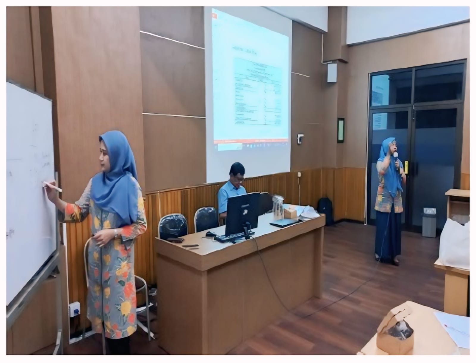
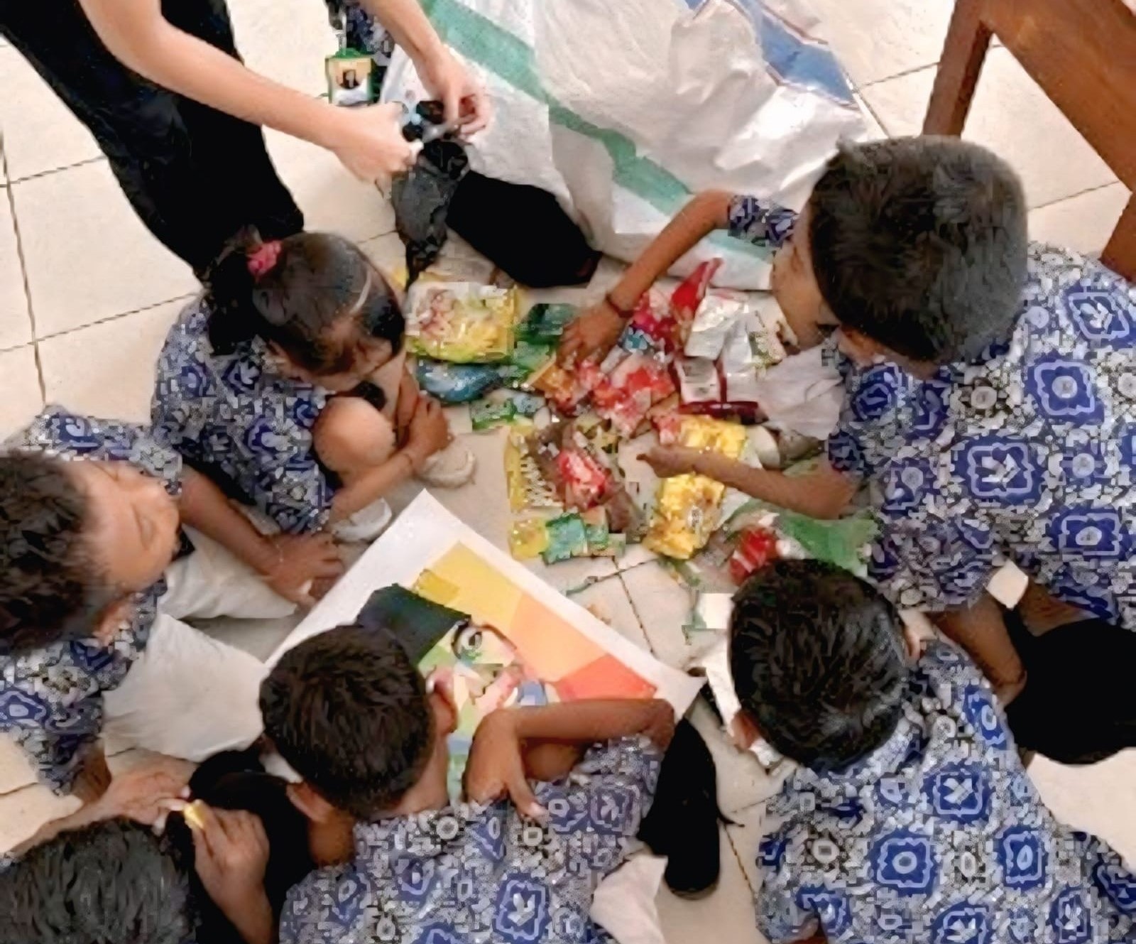
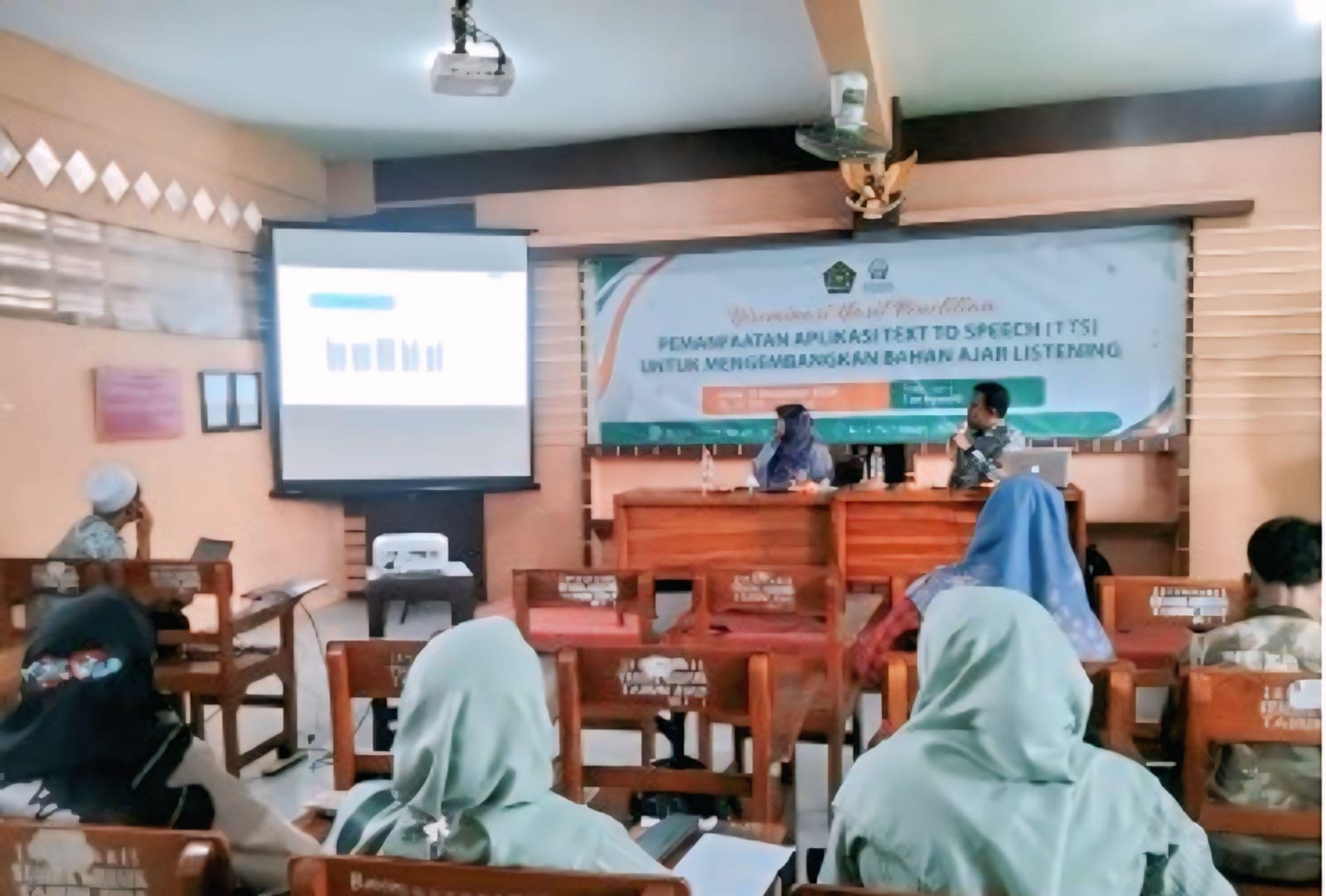
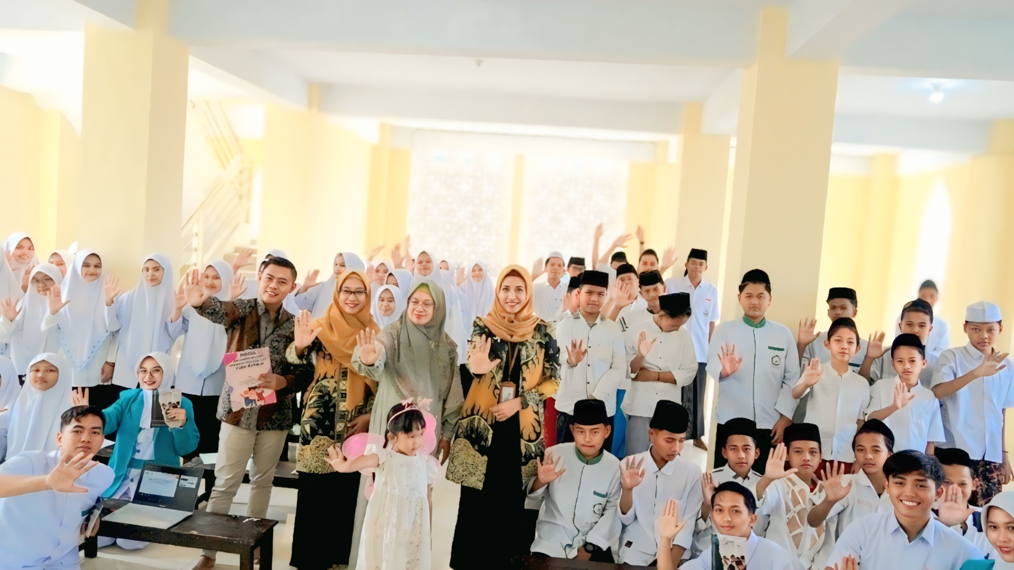
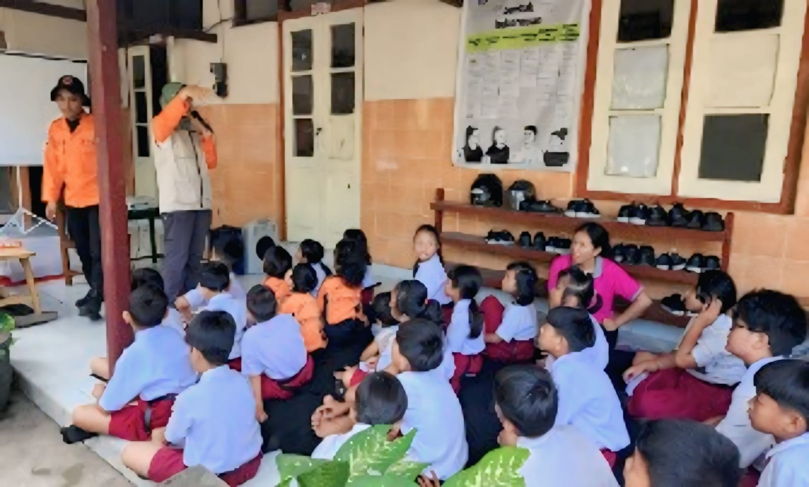
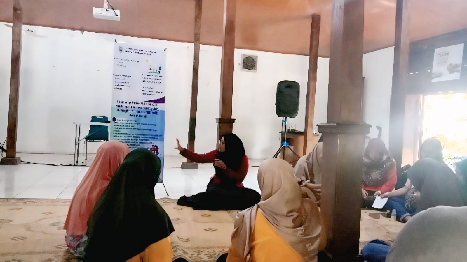
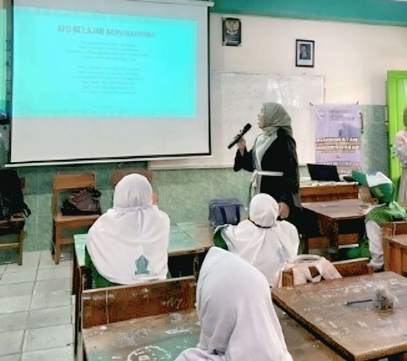
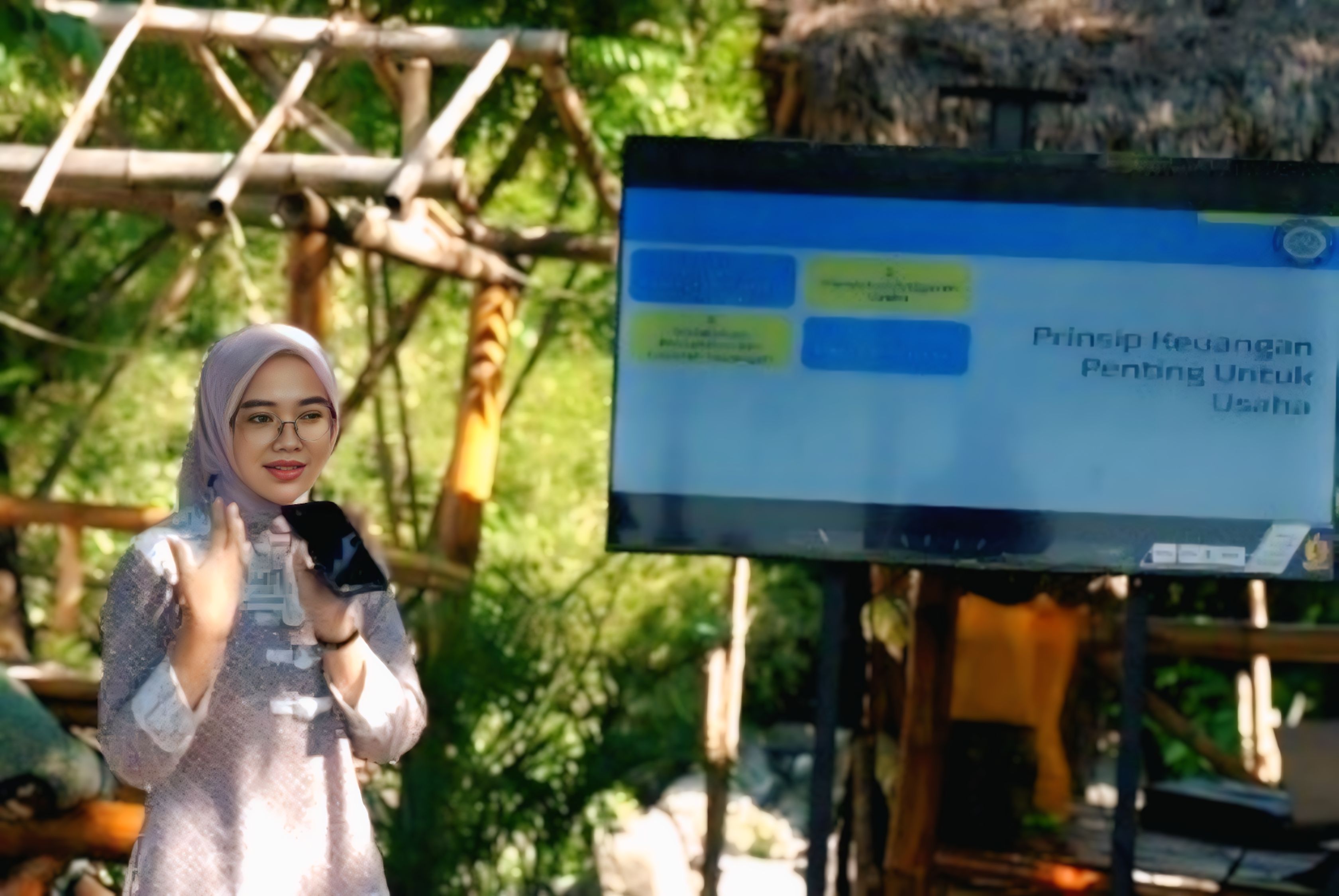
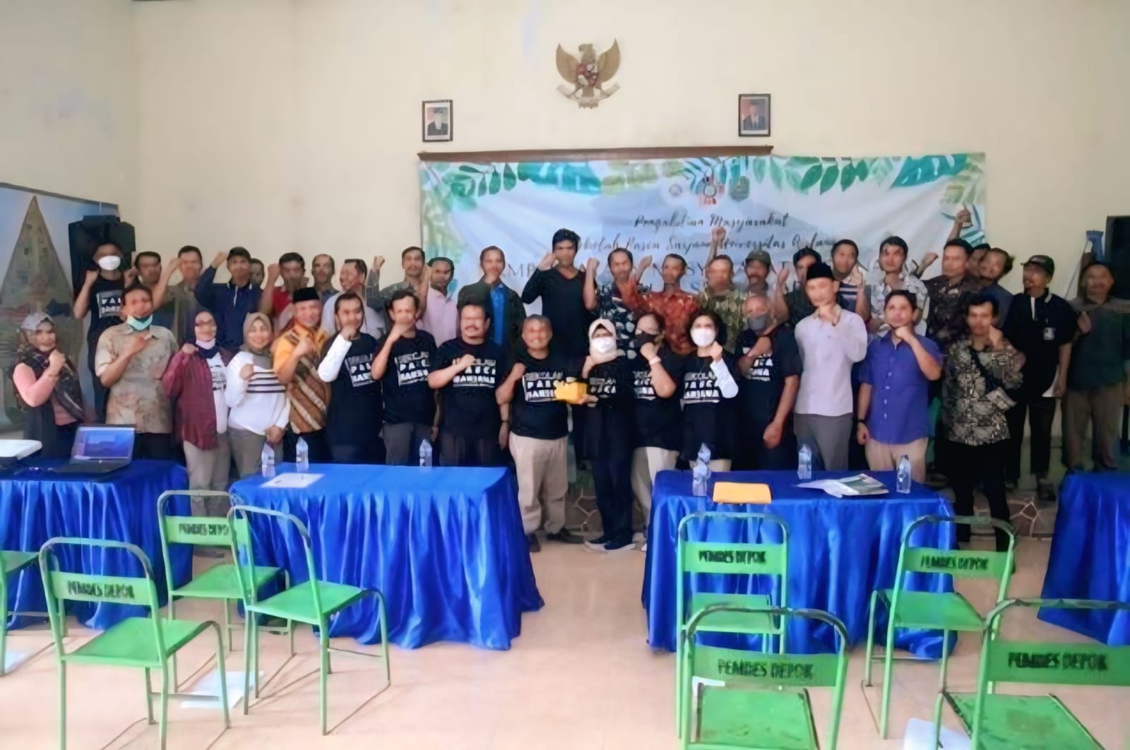
Background: Indonesia is a country that is rich in various tourism potentials. Tourist destinations in Indonesia have spread not only in big cities, but also in districts and even villages that have the potential for promising tourist sites. Gresik Regency is one of the regencies with lontar sewu tourist destinations that are quite interesting to visit. The number of emerging tourist destinations in various regions makes the manager consider the safety aspects of visitors and employees working at tourist sites. Therefore, tourism managers need to develop contingency plans and mitigation measures to improve preparedness and reduce the adverse impacts of disasters. Purpose: This service activity aims to map evacuation routes and educate employees at tourist sites with disaster mitigation socialization activities related to knowledge and awareness of disasters and a simulation of disaster occurrences in Gresik Regency tourism, namely Edu Wisata Lontar Sewu, Hendrosari Village, Menganti District. Methods: The method of activities carried out is divided into 3 main stages, namely 1) the planning stage starting from exploring partner problems, reviewing the program target areas, preparing proposals, mapping evacuation route points at tourist sites; 2) the implementation stage consists of the location mapping stage, Focus Group Discussion (FGD), visualization stage, installation stage and socialization activities; 3) The last stage is the evaluation stage consisting of a question and answer session at the end of the socialization session, and 2) disaster simulation by participants. Results: The result of this service activity is that 21 evacuation routes have been installed at tourist sites, the installation of evacuation route maps at 5 location points that have the potential to have many visitors, and the presence of gathering point locations at tourist sites. In addition, related to the results of non-structural disaster mitigation, showed that participants looked enthusiastic when socialization related to disaster mitigation was carried out and they were able to take part in disaster simulation activities properly and correctly and carry out self-rescue efforts by following the evacuation route that had been installed and heading to the gathering point according to the time. determined is 1 minute 25 seconds. Conclusion: Employees at tourist sites can make mitigation efforts by the directions at the time of socialization, namely by running in the direction of the evacuation route that has been installed at the tourist location and can go to the meeting point location according to a fast time of 1 minute 25 seconds.
Copyright (c) 2023 Ratnaningtyas Wahyu Kusuma Wardani, Tofan Agung Eka Prasetya, Neffrety Nilamsari

This work is licensed under a Creative Commons Attribution-NonCommercial-ShareAlike 4.0 International License.
- The Author(s) hold the copyright of the article without restrictions
- Darmabakti Cendekia allows the author(s) to retain publishing rights without restrictions.
- The legal formal aspect of journal publication accessibility refers to Creative Commons Atribution-Non Commercial-Share Alike 4.0 (CC BY-NC-SA), implies that publication can be used for non-commercial purposes in its original form.


